
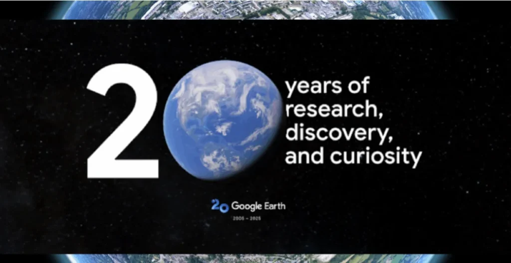
Google Earth at 20: Explore the Past and Plan the Future with New Street View and Climate Features
Google Earth, the iconic 3D mapping platform, has marked its 20th anniversary with a powerful update that combines nostalgia and environmental innovation. The platform now supports historical Street View imagery, previously exclusive to Google Maps, allowing users to step into a virtual time machine and witness how neighbourhoods, cities, and landmarks have evolved over the years.
This update lets users scroll through archived Street View images, offering a street-level look at urban development, lost landmarks, and the gradual changes in architecture and cityscapes.
“People come to Google Earth to explore, remember, and understand the world. Making historical Street View accessible here just made that experience more powerful,” Google stated.
Time Travel with Street View: A New Way to See Change
With the integration of Street View time travel, users can:
- Compare past and present visuals of cities and streets
- Revisit lost loved ones, hometowns, or childhood places
- Track changes in infrastructure, nature, and urban growth
This move builds on last year’s viral trend where people used Google Maps’ historical imagery for emotional and nostalgic purposes. Now, those journeys through time are available directly inside Google Earth.
Climate Tools for Professionals: Aiding Urban Planning in the U.S.
In addition to the visual upgrades, Google Earth is rolling out new climate-focused tools as part of its Environmental Insights Explorer initiative. These are designed to help U.S.-based professionals make informed decisions about urban planning and climate adaptation.
Key environmental tools include
- Tree canopy coverage maps
- Land surface temperature data
- Hotspot identification for heat mitigation
These tools allow urban planners and sustainability officers to detect overheated areas and strategically increase shade and green cover. For example, in Austin, Texas, the platform can help identify zones most in need of tree planting or cooling infrastructure.
A Look Back at Google Earth’s Legacy
Launched in 2005 after Google acquired the tech from startup Keyhole, Google Earth quickly became a global sensation, amassing over 100 million downloads in its first week. Over two decades, it has grown into a tool used in fields like
- Humanitarian relief
- Education
- Documentary filmmaking
- Climate research
In 2024 alone, Google Earth recorded over 2 billion location searches, demonstrating its lasting relevance in a rapidly evolving digital world.
Final Thoughts
With the addition of Street View time travel and climate planning tools, Google Earth is evolving into not just a virtual globe but also a historical archive and sustainability platform. These updates reaffirm its mission to help users explore, remember, and build a better future for the planet.